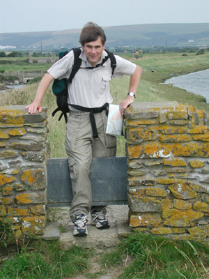
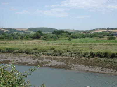
We took the bus from Pottington in
Barnstaple to Braunton, and walked
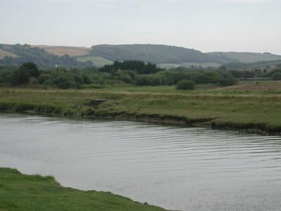
down from Velator towards Crow Point. Here is the view looking back
from the footpath by the river, towards Ash
Down and the hill by Pippacott (both places are part of the site)
|
Cows and bullrushes on the marshes. This photograph was taken
looking towards the sea,
across the marshes and Braunton Burrows - you can just see the tip of
Saunton
Down in the distance.
|
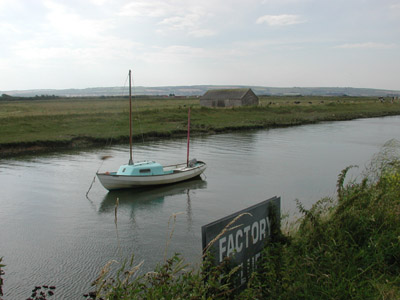
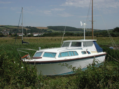
A boat and a stone building, and an old sign. There was a wonderful
calmness about the scene here, reminding me of old Dutch paintings.
On the right: my brother John, stepping over a stone stile, with
Saunton Downs
behind in the distance.
|
|
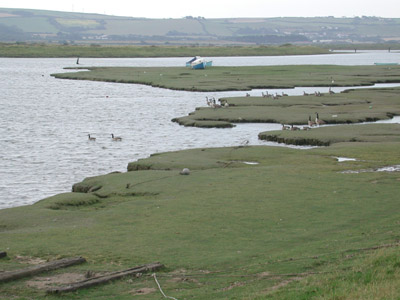
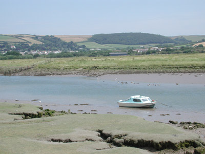
Geese, and a view across the Taw to the southern hills, above
Fremington and Yelland. (Nov 2008: yet more turbines proposed to
overlook the estuary at Bickleton
(3 x 130m on these hills opposite)
|
Here you can see Codden Hill
in the distance, down the estuary beyond
Barnstaple.
|
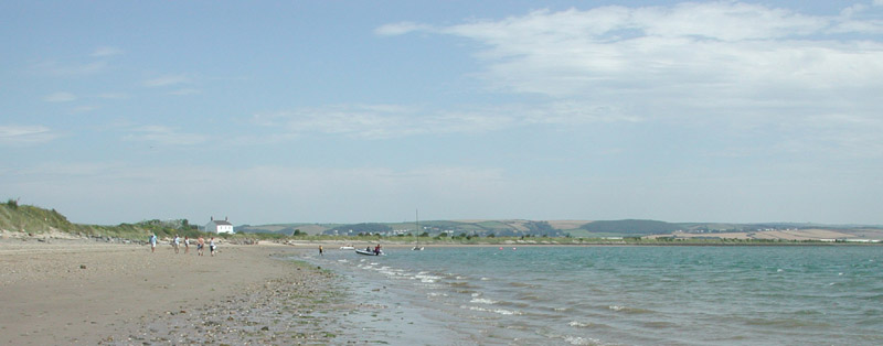
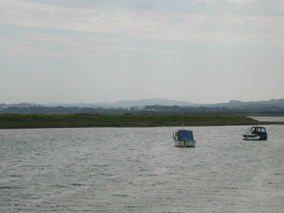
As we met the wider Taw estuary the sun came out, the sea became blue,
and
across the sands of Crow Point the sun shone on Appledore.
On the right, we are approaching the white house, as it is known. |
Walking here
a couple of days before (without my camera) I had almost
stepped on an adder - quite an exciting event! It was beautiful, but it
was more frightened of me than I was of it, and it vanished into
the longer grass beside the
path at great speed..
|
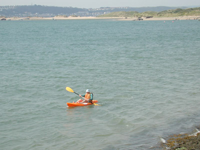
This is the canoeist that you can see in the previous photograph. We
waved at her, but she had both arms occupied. How lovely it must have
been, quietly paddling out there on the water.
|
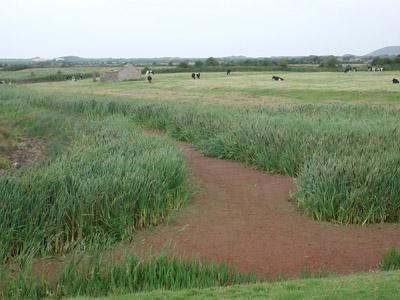
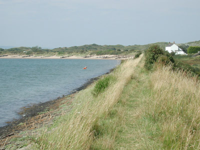
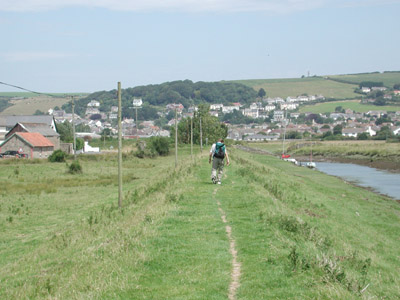
The car park just beyond the white house. You can see Ash Down
and the Fullabrook Down wind farm site clearly ahead of you.
|
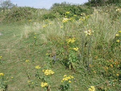
Wild flowers, just beyond the car park.
What is the point of having a Unesco Biosphere Reserve, and then
allowing it to be overlooked by a power station?
The Christie Estates own Braunton Burrows, and Hector Christie (who
supported of the Fullabrook Down Wind Power Station development) has
said he
would like see turbines on the Burrows, despite the fact that this is a
Unesco
Biosphere Reserve.
His brother Guy Christie is responsible for the giant turbine that will
be built at Glyndebourne, the first to be built in a National Park.
|
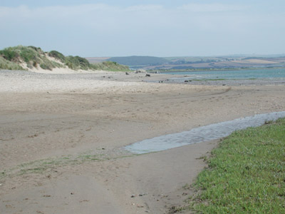
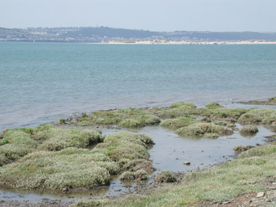
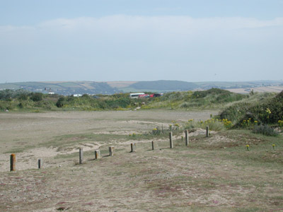
Down on the beach, just below the dunes, as you turn inland
after Crow
Point, you will look straight at the Wind Power Station site, when and
if it is built.
This is one of
the best walks in North Devon, and part of the Tarka Trail and South
West Coastal Path. Walkers come here from all across Britain and
abroad because of the wonderful
views. At the Public Inquiry there was a suggestion by supporters
of the Wind Power Station that it would attract tourists (of a
different kind to those that come now) As the government plans to cover
our countryside with thousands of turbines, tourists will be far more
likely to be searching for the few landscapes remaining free of them.
|
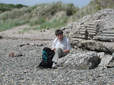
We stopped on the beach, and had drinks and some fruit that we had
brought with us. This is John, sitting on some boulders.
It had become quite hot (after a cold cloudy beginning to the day) and
we wished we had brought our swimming costumes with us
|
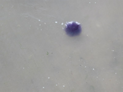
I decided to
paddle a little, and nearly bumped into this beautifully coloured
jellyfish. It wasn't easy to photograph as it kept drifting
towards me. I presumed it wasn't a dangerous one, but didn't want
to find out for sure by getting too close.
|
On the way back, with the the tide going out, and Ash Down very much
closer. We
saw a helicopter flying in, and landing at RAF Chivenor. I didn't get
my camera out in time to photograph it, but it came in in front of the
woods on Ash Down that you see above here.
Those of us
who live in this area are very aware of how often helicopters and
heavier airplanes (Hurricanes?) fly low over this area. To deter
aircraft, there will have to be lights on the Fullabrook turbines,
which will further destroy the rural nature of this region
(this was only announced after
the Public Inquiry)
|
Another view of the site, from the river.
Despite the proposed lights, I couldn't help wondering about safety.
Quite
recently a helicopter crashed into pylons near Torrington, not far to
the south of the estuary. They were stationary, not moving at great
speed, as turbine blades do. There are plenty of times when these
hills are covered by low-lying cloud. It is already known
that turbines interfere with radar systems, and may possibly produce
radar "shadows" behind them.
|
John, approaching Braunton, near the end of our walk.
|
Now this is the kind of turbine that I am happy to see.
|
|
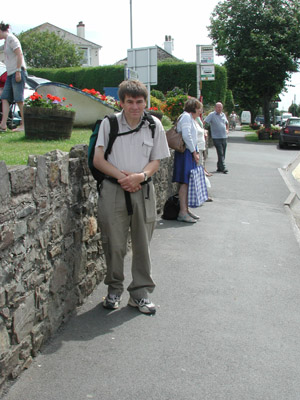
Just to confirm that - as usual
- this was a Green excursion, I took this photograph as we waited at
the bus stop in Braunton, opposite the George Hotel.
It was getting very hot, and the traffic was noisy. Then the bus was
late, but never mind, it came in the end. We got off at Pottingon and
went into Somerfields there, to buy ourselves something nice for lunch,
before walking the last half mile home.
The Fullabrook Down Site
from Codden Hill, to the East of Barnstaple (2008)
More
and sunnier photos, Codden Hill updated (2009)
Other walks in the area:
Ash
Down, Pippacott and Whitehall
Marwood
Patsford
The
ancient Burland Lane and Fullabrook itself
Map of Fullabrook Site
More
information about the Fullabrook Site
Back
|